
Over the last several months I have had the opportunity to visit the southern terminus of the PCT, as well as where the trail crosses Highway 74 in Southern California.

The Southern Terminus of the PCT
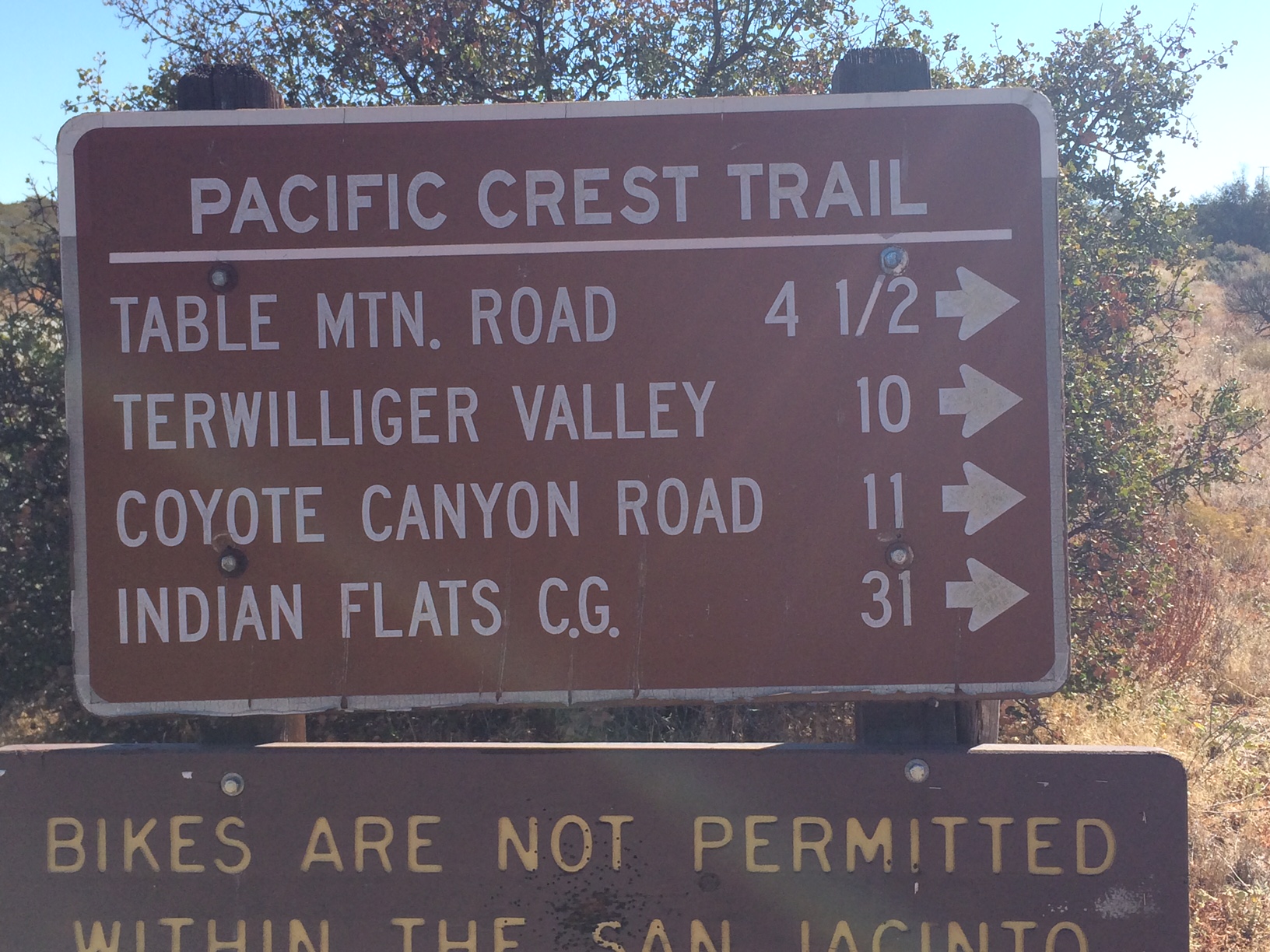
Trail sign where the PCT crosses HWY 74.
But my favorite picture of all is the PCT from the air! I captured the image below while helping a friend relocate his airplane from Santa Rosa to Phoenix. We made a weekend trip out of it, so we flew over the Sierra right around Mammoth. It was an unexpected opportunity.
As we were flying along we were talking about my upcoming hike, and my friend asked if he thought we would be able to see the trail from the air. We were flying at an altitude of 12,700 feet, and the Sierra top out at about 11,000 ft where we crossed the range. Quickly thinking, I pulled out my Iphone and was able to determine how far we were from the trail using Halfmile PCT maps App. It was pretty incredible to spot the trail in the clearing below.

PCT from the air.


 Format 98 %")


Hello: I am writing to request permission to use an image of yours in a book of philosophical essays I am publishing each chapter of which is located at a different place on the Pacific Crest Trail . The image of the southern terminus that you use in this site.
Many thanks,
Martin Bunzl,
Professor of Philosophy, Emeritus,
Rutgers University.
bunzl@rutgers.edu
LikeLike